Learn to Fly in Sarasota: Routes and Practice Areas in 2026
Published by
Jacob Kyser
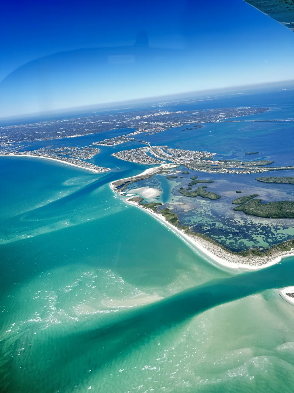
You climb out of SRQ, level off, and the Gulf of Mexico fills the left window. Your instructor taps the chart on your knee and asks you to find Anna Maria Island. You look down, look at the chart, and the long, thin island at the mouth of the bay matches the shape on paper. You just navigated by landmark, and around here you get to do it with the Gulf beaches under the wing.
If you want to learn to fly in Sarasota, the sky around the airport becomes your classroom. The barrier islands, bays, and bridges below you double as landmarks, and the busy control tower at SRQ teaches you radio work from the start. That airport traffic also shapes where each lesson goes, whether that is quiet practice sky, the traffic pattern, or a longer cross-country trip.
At Universal Flight Training, every lesson starts on our ramp at Sarasota Bradenton International Airport (SRQ). Here is a picture of the flying you can expect, and why it builds skills you will use for the rest of your flying life.
Five Gulf Coast landmarks you can request on a first flight
When you book a discovery flight, you can request one of five scenic routes: Anna Maria Island, the Skyway Bridge, Siesta Key, Egmont Key, or Downtown Sarasota. They are also some of the clearest landmarks in the region, so they stay useful long after your first flight.
| Landmark | What you see from the cockpit | What it teaches as you train |
|---|---|---|
| Anna Maria Island | A long, narrow barrier island where the bay meets the Gulf | Matching a coastline shape to your chart |
| Skyway Bridge | The tall span of the Sunshine Skyway crossing the mouth of Tampa Bay | Picking out a single big landmark from far away |
| Siesta Key | White beaches along a barrier island off Sarasota | Using the shoreline as a line to follow |
| Egmont Key | A small island sitting at the mouth of Tampa Bay | Spotting a small feature against open water |
| Downtown Sarasota | The city skyline and bayfront | Reading built-up areas and the bay edge |
The views are what most people remember. Every time you compare the ground to the chart, though, you are also practicing pilotage. If you want to know more about the first flight itself, our step-by-step discovery flight guide covers it.
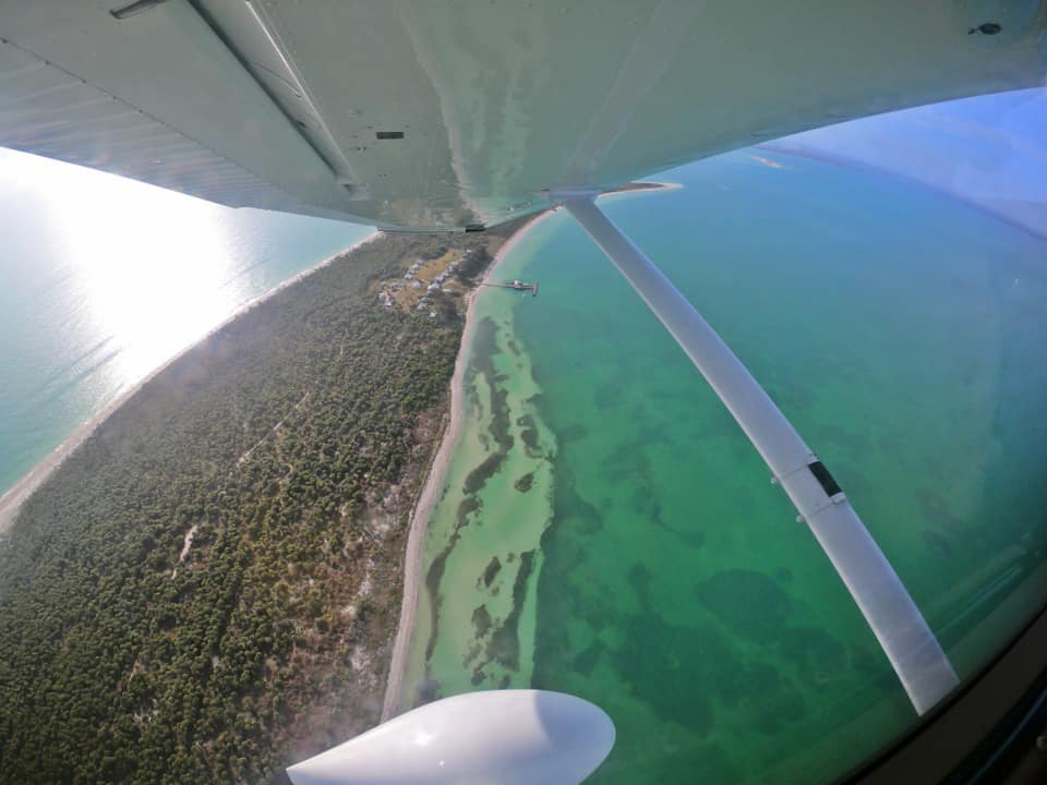
Siesta Key is one of the Gulf Coast landmarks you can request on a first flight.
Reading the coastline teaches you how pilots navigate
The FAA teaches two basic ways to find your way on a visual flight. Pilotage means navigating by looking at landmarks on the ground and matching them to your chart. Dead reckoning means working out your heading and time from your speed, the wind, and the distance you need to cover.
Sarasota gives you a lot to practice on. The Gulf shoreline runs north and south for miles, so you always have a line to orient yourself against. Bays, inlets, and bridges break that line into features you can name: the bridge is here, the island ends there, the city is just inland.
As your training moves along, your instructor will ask you to do more of this work yourself. You will plan checkpoints before the flight, then confirm each one as it passes under the wing. You will learn GPS and modern avionics too, and they help. A pilot who can also read the ground keeps their bearings when a screen needs a second look.
This habit is part of what our instructors call situational awareness, and our post on situational awareness in pilot training explains why it matters so much.
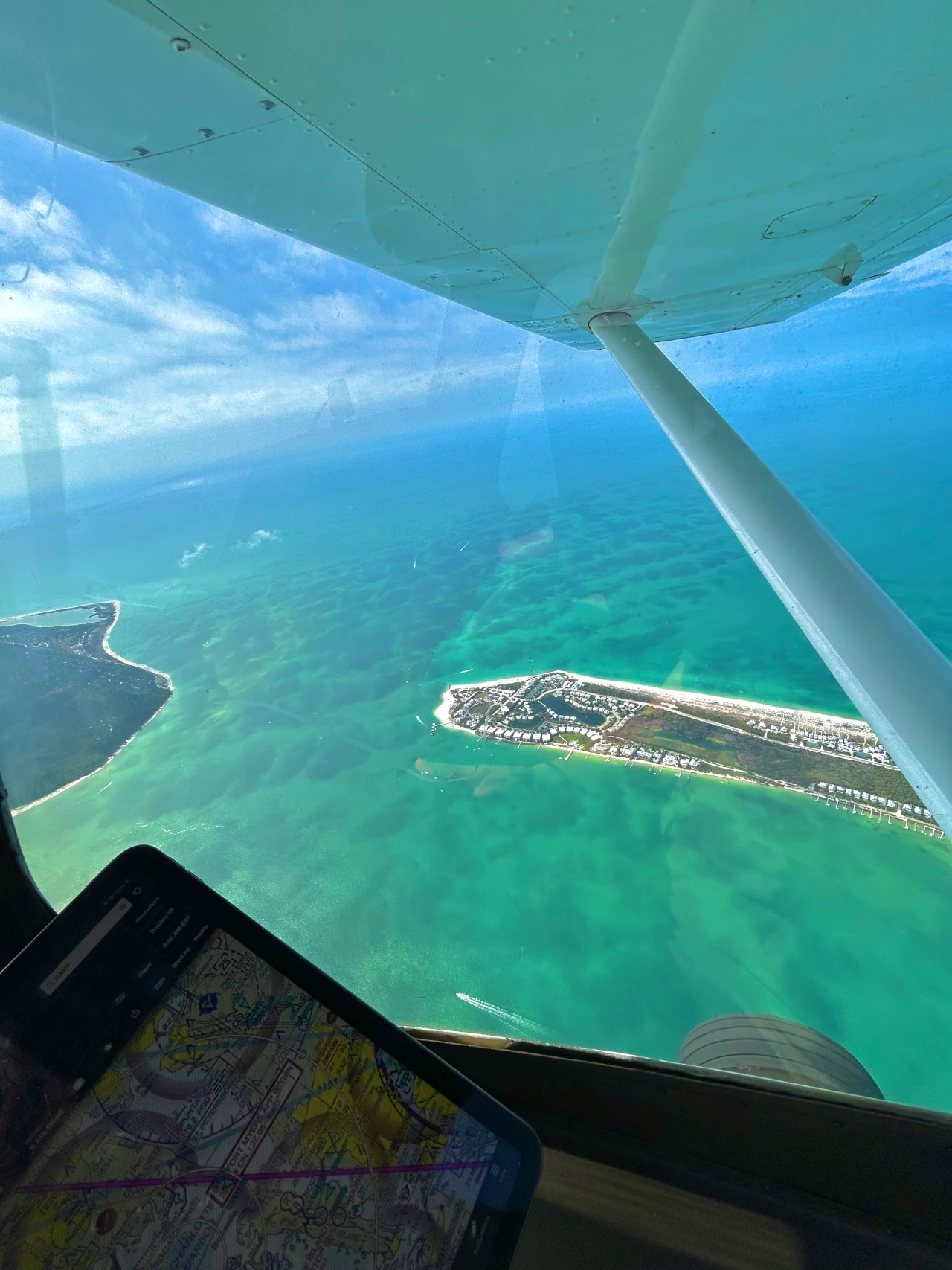
The shoreline gives you a line to navigate by on every flight out of SRQ.
A busy towered airport decides when you work the pattern
SRQ is a towered airport inside Class C airspace. Pilots talk to air traffic control before flying into the airspace around the airport, and the tower directs every takeoff and landing. You share the runways with airliners and business jets, and the airport has two crossing runways to keep in mind as you taxi.
That traffic shapes your day. SRQ’s control tower publicly asks training pilots to do traffic pattern work and practice approaches early in the morning or later in the evening, because jet traffic is heaviest through the middle of the day. You can read the tower’s own local notes on the FAA’s SRQ airport page.
In practice, takeoff and landing practice often fits best at the quieter ends of the day, while maneuver lessons usually leave the airport and head for open sky. The flight home includes a call to approach control before you talk to the tower, so you learn that handoff early.
Your instructor handles the radios at first and hands them over when you are ready. One reviewer, Eric S., put it simply: SRQ controllers “know the tail numbers.” Our first-month lesson guide walks through how radio work builds in your early lessons.
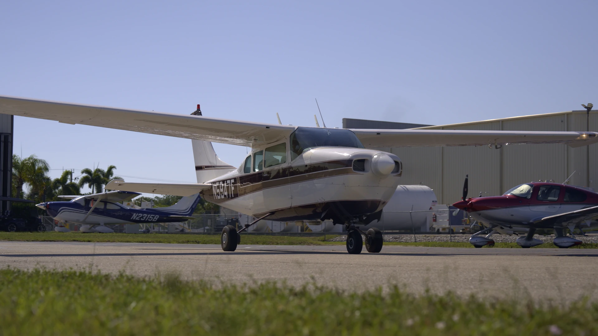
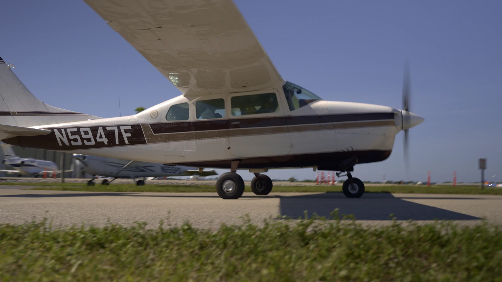
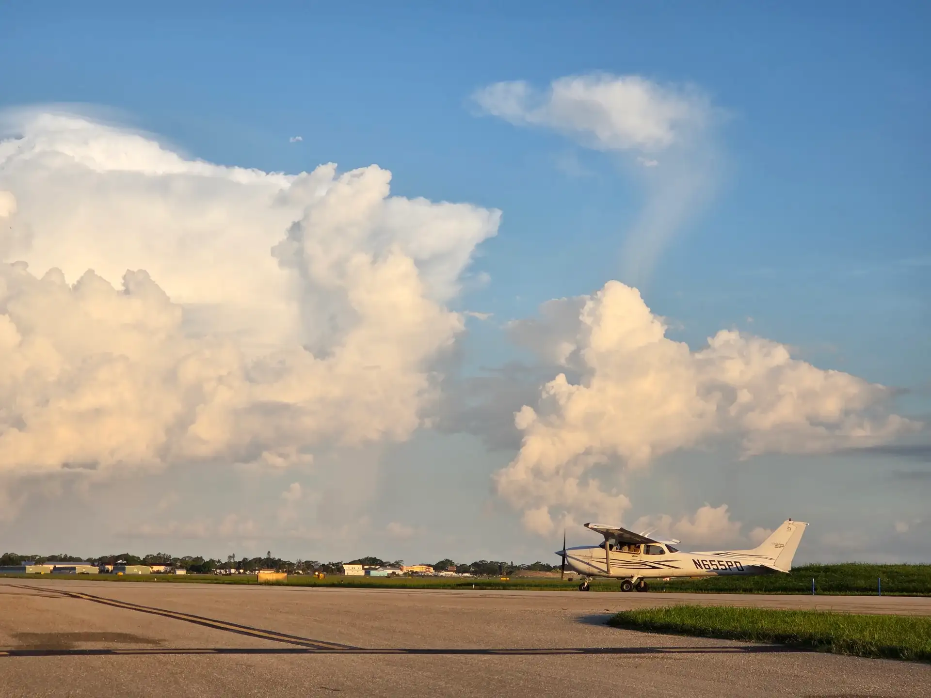
Every lesson starts on our ramp at SRQ, a towered airport with airline traffic.
Maneuvers happen in quieter sky away from the airport
Stalls, slow flight, steep turns, and other maneuvers need room. So on many lessons, you will depart SRQ and head away from the busiest airspace to a stretch of sky where you and your instructor can work without airline traffic in the way.
Your instructor picks where each lesson goes based on what you are practicing, the traffic, and the weather that day. That is part of the lesson plan, and your instructor will brief it before you walk out to the airplane.
Some of the most useful practice uses the ground directly. Ground reference maneuvers, such as turns around a point or flying a rectangular course, ask you to hold an exact path over a road, a field edge, or a shoreline while the wind tries to push you off it. Florida’s flat ground and clear features give you plenty of options. These maneuvers are on the FAA’s list of skills you train before solo, which our first solo guide covers in more detail.
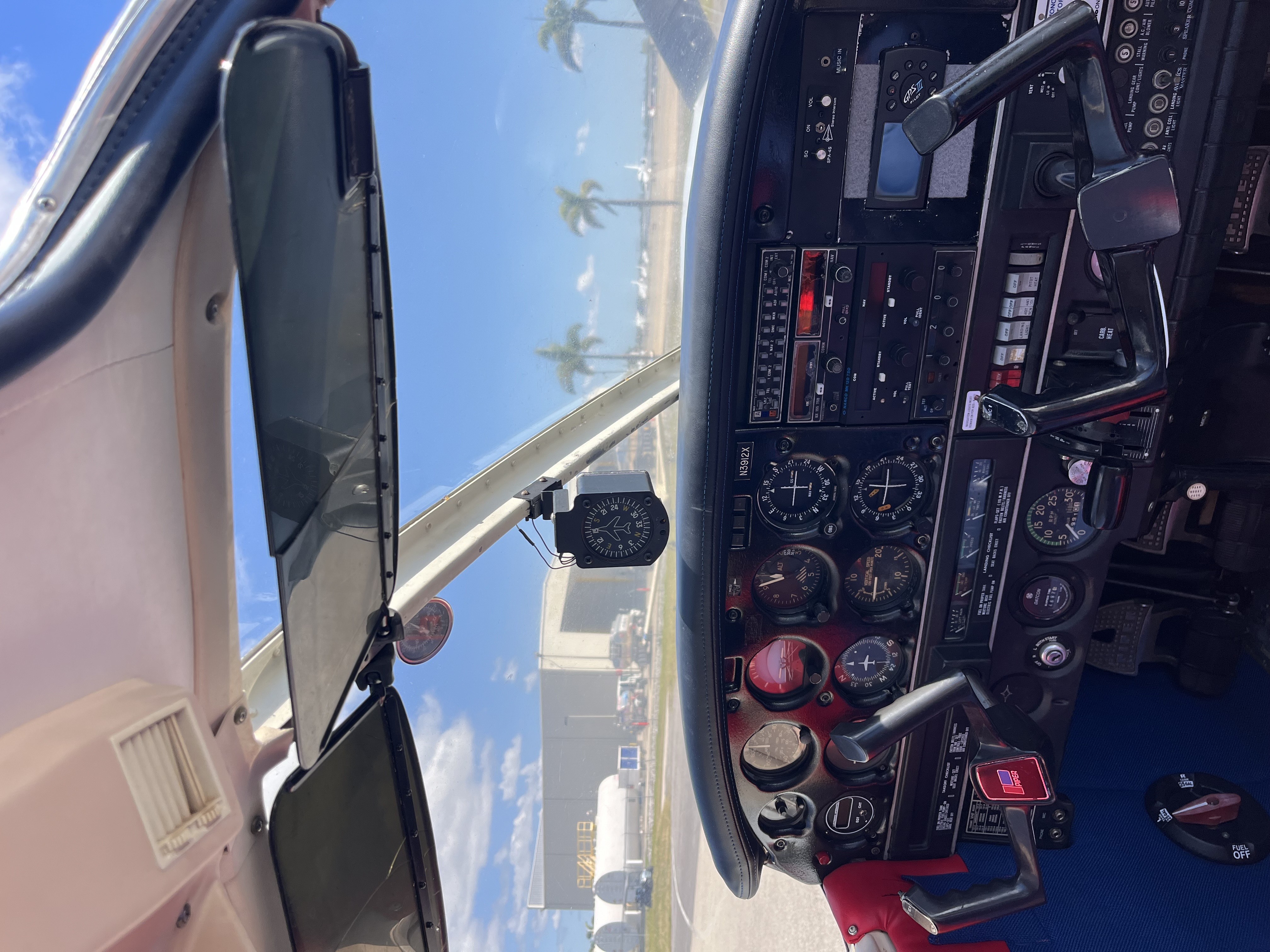
You will fly most of these lessons in one of our primary trainers, such as the Piper Cherokee, Archer, or Cessna 172. You can look over each one on our fleet page.
Cross-country flights stretch your map across Florida
Once you have the basics, your map gets bigger. Cross-country flights take you to other airports, and Florida gives you a mix of towered and non-towered fields within reach of SRQ. Each type teaches something different. Towered fields build your radio confidence. Non-towered fields teach you to announce your own position, scan for traffic, and fly a disciplined pattern.
For an airplane private pilot certificate, FAA rules set minimums that include:
| Requirement | FAA minimum (14 CFR 61.109) |
|---|---|
| Cross-country training with an instructor | 3 hours |
| Solo cross-country time | 5 hours |
| Long solo cross-country | 150 nautical miles total, full-stop landings at three points, one leg over 50 nautical miles |
| Solo landings at a towered airport | 3 takeoffs and 3 full-stop landings |
These are minimums, and many students fly more hours than that before their checkride. Training at SRQ means the towered-airport requirement happens in your normal routine. Your instructor plans each cross-country around your progress, and you can learn more in our post on mastering cross-country flight. All of this is part of our Private Pilot Course.
Florida weather and a simulator keep your training moving
Florida weather allows flying most of the year, but weather still decides some days. When a lesson has to stay on the ground, you can keep working in our Virtual Fly Solo Pro G1 simulator, which has no weather cancellations.
The simulator is a good place to rehearse procedures before you fly them over the water: radio calls, checklists, and navigation planning. Time on the ground can make your next flight count for more. For a longer look at what simulator time can do, read our guide to what a flight simulator can and cannot do.
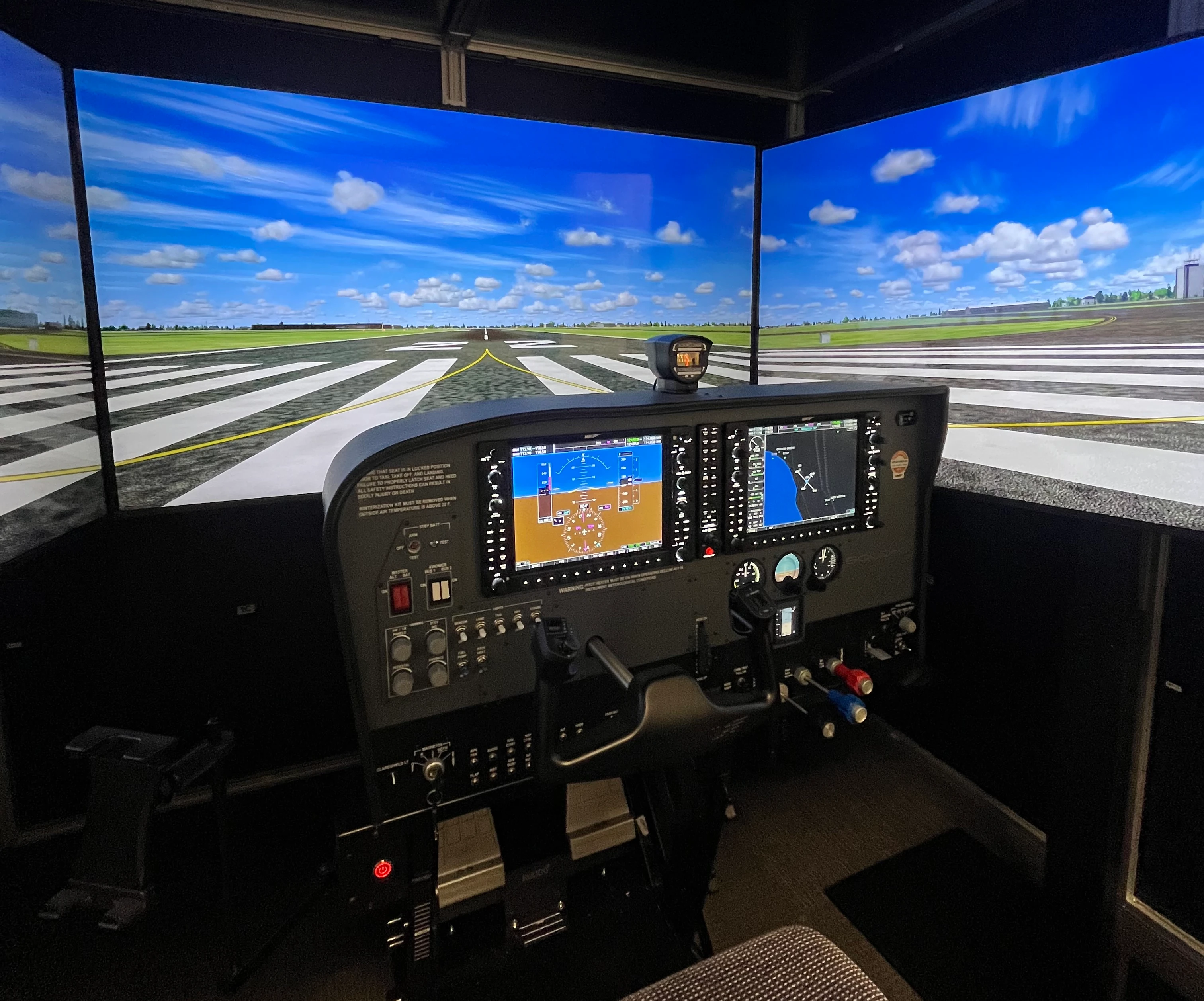
On days the weather keeps you on the ground, the simulator keeps your procedures sharp.
Planning the cost of all this flying
Every lesson you picture here has a price tied to the airplane and the instructor. Budgeting ahead keeps you flying steadily, and steady flying is how your navigation and radio skills stick. Our breakdown of what one flying lesson costs in Sarasota shows how to estimate a single flight.
If cost is the thing holding you back, financing can help. We partner with Stratus Financial and Flight Training Finance, so you can look at loan options before you commit. See the details on our financing page.
FAQ
Can I pick where my lessons go?
Your instructor plans each lesson’s route around what you need to practice, the traffic, and the weather. On a discovery flight, you can request one of our five scenic routes.
What airspace is SRQ in?
SRQ is a towered airport in Class C airspace. You talk to air traffic control before you fly into it, and your instructor handles the radios until you are ready. Our Sarasota learn-to-fly page explains how training at SRQ works.
Is it hard to learn to fly at a busy airport?
It adds radio work early, which can feel like a lot at first. You build the habit step by step with your instructor, and the skills carry over to any airport. Our post on why Sarasota Bradenton is a good place to learn to fly covers more of the local picture.
Will I learn to navigate without GPS?
Yes. Pilotage and dead reckoning are core private pilot skills, and the Gulf coastline gives you clear landmarks to practice on. You will also learn the avionics in your training aircraft.
How far do cross-country flights go?
For a private pilot certificate, the long solo cross-country covers at least 150 nautical miles with full-stop landings at three points. Your instructor plans the route with you. Read more in our cross-country guide.
What happens when the weather is bad?
When weather keeps you on the ground, our simulator lets you practice procedures with no weather cancellations. You can see it on our simulator page.
See the coastline from the left seat
The quickest way to find out whether learning to fly in Sarasota is right for you is seeing the Skyway Bridge or Siesta Key from the pilot’s seat. Book a discovery flight, request your route, and fly with one of our instructors out of SRQ. If you have questions first, call our team at (941) 300-0309.